
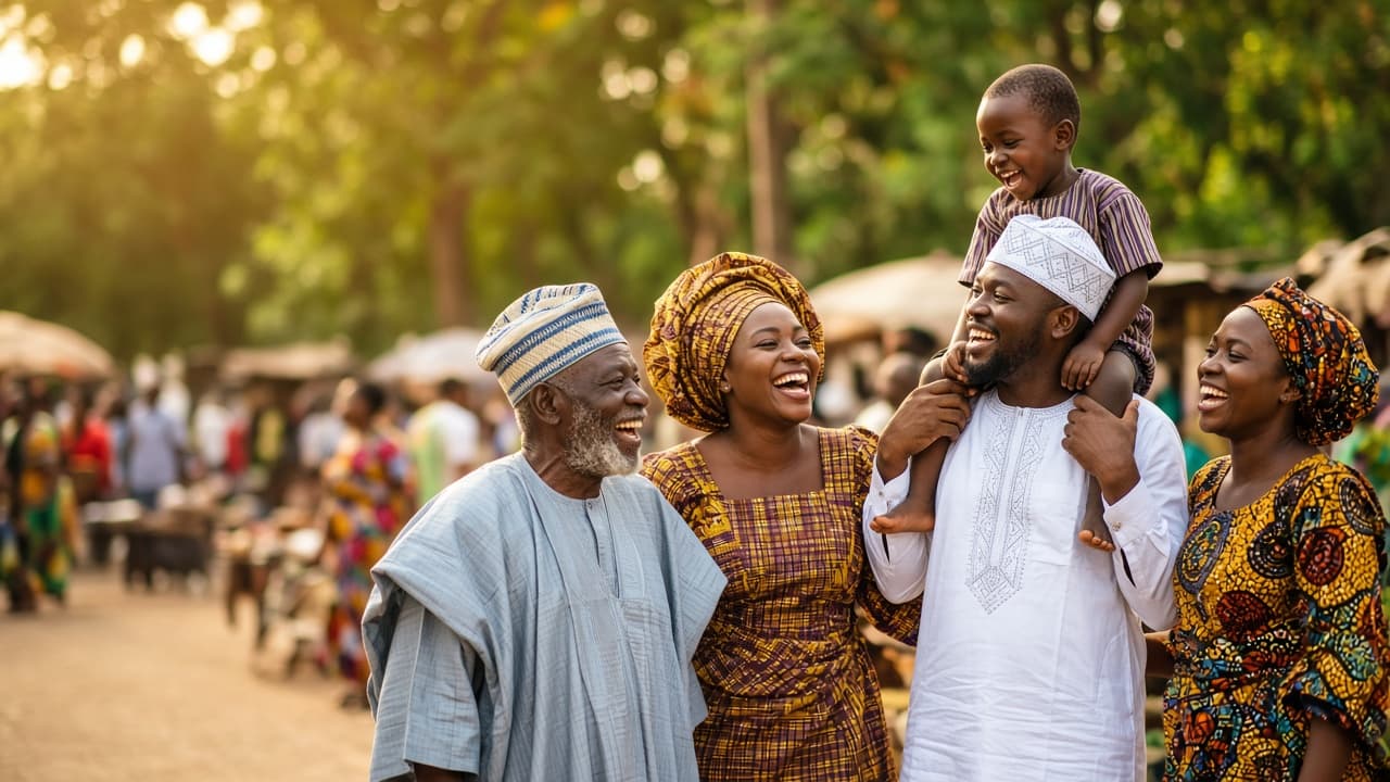
The people, not the numbers.
Hundreds of languages, kingdoms and communities share one map. Pick a state to meet the people who call it home.
Explore a stateState by state
Languages, peoples and stories
Choose a state to meet the cultural groups found there, then read the state profile behind them.
Groups are listed A–Z. Pick a state to read its institutions and profile.
Cultural groups in Lagos
- medium
Awori
5 documented LGA areas · 2 states
Awori Yoruba sub-group of Lagos and south-western Ogun, indigenous to much of the Lagos mainland and Ota.
Ethnic makeup
Awori (Yoruba) · dominantPresent in: Lagos, Ogun
- high
Egun (Badagry)
1 documented LGA areas
Egun (Gun/Ogu) coastal people of Badagry, a community that continues across the border into Benin Republic; Badagry was a major slave-trade port.
Ethnic makeup
Egun (Gun) · dominantAworiPresent in: Lagos
- medium
Eko (Lagos Island and Mainland)
3 documented LGA areas
Historic core of Lagos: the Eko settlement, seat of the Oba of Lagos and the Idejo (White Cap) chieftaincy, with Awori and returnee-descended communities.
Ethnic makeup
Eko (Yoruba) · dominantAworiAguda and SaroPresent in: Lagos
- medium
Lagos Ijebu (Ikorodu, Epe, Ibeju-Lekki)
3 documented LGA areas
Ijebu-related lagoon-side communities in the eastern non-metropolitan part of Lagos State; Awori communities are also present in Ibeju-Lekki.
Ethnic makeup
Ijebu (Yoruba) · dominantAworiPresent in: Lagos
Showing 4 of 4 documented groups in Lagos (A–Z).
Cultural institutions · Lagos
The Oba of Lagos rules from the Iga Idunganran palace on Lagos Island alongside the Idejo (White Cap) chiefs, the land-owning chiefly houses of old Eko.
Lagos state details
Lagos
Centre of Excellence
- Capital
- Ikeja
- Created
- 1967
Lagos is a state in Nigeria's South West geopolitical zone.
Languages spoken
Major cities
Lagos Island · Ikeja · Lekki · Surulere
What to explore · learn
Lagos's nickname reflects its status as Nigeria's commercial and cultural capital, though no longer the political capital since 1991.
Lagos was Nigeria's federal capital from independence in 1960 until Abuja formally took over in 1991.
Lagos is widely regarded as Africa's most populous urban agglomeration, with a metropolitan population estimated well above 15 million.
Major celebrations
- irregularLagos Island
Metro areas
Lagos Metropolis
The sixteen metropolitan LGAs of Lagos State, Nigeria's largest city and commercial capital, built around the historic Eko settlement on Lagos Island and its lagoon-side mainland.
Source: Cultural group catalogue · state general profiles · Updated Repository catalogues
Celebrations
Festivals & cultural gatherings
The recurring festivals that mark Nigeria's calendar year, across every state in the catalogue.
- jan—
Afan National Festival
Kaduna · Kagoro
FestivalThe Afan festival of the Kagoro (Gworok) people is held on 1 January at the Chief of Kagoro's palace in Kaura LGA. It marks the end of the farming season and the start of hunting, and is said to be around 400 years old.
- JUN13
Aguleri Festival
Delta · Aguleri, Delta State
Heritage & RitualIjaw fishing and masquerade festival on the Niger Delta waterways.
- SEP2–7
Argungu Fishing & Cultural Festival
Kebbi · Matan Fada River, Argungu
Heritage & SportCompetitive freshwater fishing on the Matan Fada River alongside Argungu town's horse and cattle festival.
- feb/
Argungu Fishing Festival
Kebbi · Argungu
FestivalKebbi hosts the Argungu International Fishing and Cultural Festival, one of Nigeria's most famous traditional festivals. Its main event is a bare-hand and net fishing contest on the Matan Fada River, and it was created to mark the end of old hostilities between the Sokoto Caliphate and the Kebbi Kingdom.
- DEC27–31
Calabar Carnival
Cross River · Calabar, Cross River State
Carnival & HeritageCross River's long-running street carnival of bands, masquerade and dance over the festive season.
- dec—
Calabar Carnival
Cross River · Calabar
CarnivalCalabar hosts a December carnival billed as Africa's biggest street party, drawing large domestic and diaspora crowds.
Showing 6 of 33 festivals (A–Z).
Language
Languages by state
The headline languages recorded in each state profile.
| State | Languages |
|---|---|
| Abia | Igbo |
| Adamawa | FulfuldeHausaBuraMumuye |
| Akwa Ibom | IbibioAnnangOro |
| Anambra | Igbo |
| Bauchi | HausaFulfuldeSayawa |
| Bayelsa | Ijaw (Izon)Ogbia |
| Benue | TivIdoma |
| Borno | KanuriShuwa ArabicHausa |
| Cross River | EfikEjaghamBekwarra |
| Delta | UrhoboIgbo (Anioma)IjawIsokoItsekiri |
| Ebonyi | Igbo |
| Edo | Edo (Bini)EsanAfemai |
| Ekiti | Yoruba (Ekiti) |
| Enugu | Igbo |
| Federal Capital Territory | Gbagyi (Gwari)Hausa |
| Gombe | HausaFulfuldeTangale |
| Imo | Igbo |
| Jigawa | HausaFulfulde |
| Kaduna | HausaFulfuldeAtyap |
| Kano | HausaFulfulde |
| Katsina | HausaFulfulde |
| Kebbi | HausaFulfuldeKambari |
| Kogi | IgalaEbiraYoruba (Okun) |
| Kwara | YorubaNupeBaruba |
| Lagos | Yoruba |
| Nassarawa | HausaEggonTiv |
| Niger | NupeHausaGbagyi |
| Ogun | Yoruba (EgbaIjebuRemo) |
| Ondo | Yoruba |
| Osun | Yoruba |
| Oyo | Yoruba |
| Plateau | BeromHausaNgas |
| Rivers | IkwerreIjawOgoniKalabari |
| Sokoto | HausaFulfulde |
| Taraba | FulfuldeHausaMumuyeJukun |
| Yobe | HausaKanuriBade |
| Zamfara | HausaFulfulde |
Language lists are the headline languages recorded in each state profile, not an exhaustive count of every language spoken within it.
Source: State general profiles · Updated Repository dataset
Geopolitical intelligence
Homelands map
Homelands map
Where the documented cultural groups live, state by state.
Zones map
The six geopolitical zones, one colour each.
What this hub does not cover
Homeland polygons on the map
Group boundaries and confidence ratings are reproduced from the catalogue. Descriptions are summaries of documented sources, not claims about who belongs to a group.
Source: Cultural group catalogue · state general profiles · Updated Repository catalogues